
Aspley QLD 4034
Why Aspley?
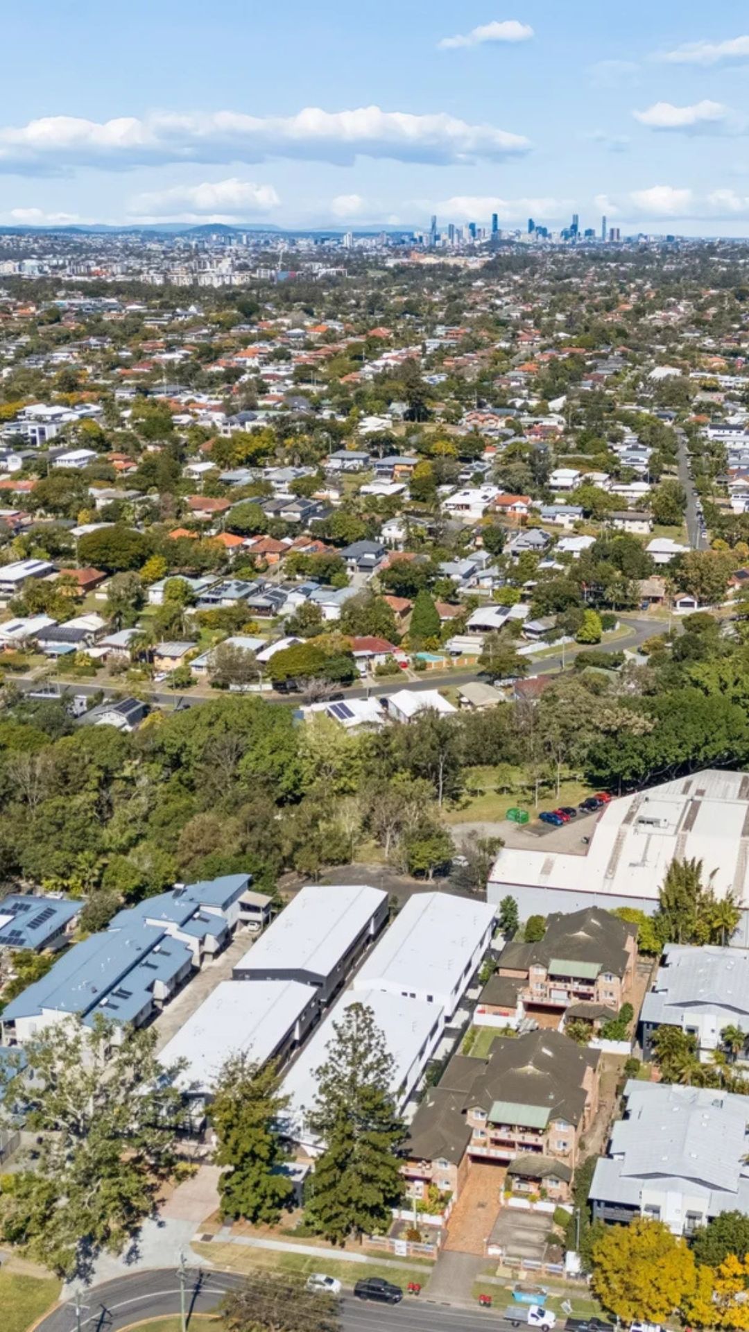
Aspley is an established northern Brisbane suburb approximately 13 kilometres from the CBD, offering a practical combination of residential amenity, shopping, schools, green space and access to major transport routes. Located between Chermside, Zillmere, Carseldine, Bridgeman Downs and Albany Creek, Aspley is well positioned for residents wanting a suburban setting with convenient access to Brisbane’s northern employment and retail precincts.
One of Aspley’s biggest advantages is the amount of everyday amenity within and around the suburb. The Aspley Hypermarket is a major local shopping destination, with supermarkets including Coles, Woolworths and ALDI, Kmart, specialty retailers, dining options and a range of services. The centre currently has more than 60 retailers and is located on Albany Creek Road near the intersection with Gympie Road.
Aspley also has several smaller retail and service precincts, including Robinson Road and the surrounding areas along Gympie Road. Nearby Westfield Chermside provides an even broader selection of retail, dining and entertainment options only a short distance away.
Property in Aspley is predominantly residential, with a mix of established houses, renovated homes, townhouses, units and newer properties. The suburb has a relatively family-oriented feel, although the variety of housing provides options for different household types. Its position close to major roads also makes it a practical base for people commuting around Brisbane’s northside.
For buyers researching Aspley real estate, the suburb is particularly relevant for those looking for established residential amenity without moving too far from the CBD. Its combination of schools, shopping, parks and public transport gives Aspley a self-contained feel while keeping surrounding northern Brisbane suburbs within easy reach.
Demographics
According to the 2021 Census, Aspley had a population of 12,871 people, with a median age of 43. There were 5,463 private dwellings and an average household size of 2.4 people. The median weekly household income was $1,818, while the median monthly mortgage repayment was $2,000 and median weekly rent was $415. The average number of motor vehicles per dwelling was 1.7.
Families make up a significant part of the local population, with 3,543 families recorded in the 2021 Census. The suburb also has a substantial number of residents attending both primary and secondary education, reflecting the range of schools available in and around Aspley. In 2021, 29% of residents attending an educational institution were enrolled in primary education and 22.7% were enrolled in secondary education.
The Census also provides an indication of how residents travel around Brisbane. Cars remain the dominant mode of commuting, with 53.3% of employed residents travelling to work by car as the driver and a further 4.2% travelling as passengers. Public transport accounted for 6.1% of journeys to work, including 2.9% by bus and 1.5% by train. A further 19.4% of employed residents reported working from home on Census day.
The local employment profile includes hospitals, primary education, state government administration, takeaway food services and supermarkets among the leading industries. This reflects Aspley’s position within Brisbane’s established northern suburban economy and its proximity to major employment centres including Chermside.
Health, Education and Schooling
Education is an important part of the Aspley community, with government and Catholic primary schools located within the suburb and secondary education available locally.
Aspley State School is a co-educational state primary school on Maundrell Terrace offering Prep to Year 6. The school has an enrolment management plan, so families considering buying property in a particular part of Aspley should confirm the current catchment and enrolment requirements directly with the school.
Aspley East State School is another local government primary school, located on Helena Street. It also provides education from Prep to Year 6 and operates under an enrolment management plan. The school has a focus on inclusive education and offers a range of classroom and extracurricular programs.
For Catholic primary education, St Dympna’s Primary School is located on Robinson Road. Established in 1963, the school provides education from Prep to Year 6 and has extensive grounds, sporting facilities and playground areas across its 4.2-hectare campus.
For secondary students, Aspley State High School is a co-educational state school catering for Years 7 to 12. The school has approximately 1,250 students and offers academic, vocational, specialist and extracurricular programs. It also has an enrolment management plan, making it important for prospective buyers to check the current catchment before purchasing.
Healthcare is also readily accessible. Local medical practices provide general healthcare services, while the nearby The Prince Charles Hospital in Chermside provides access to major hospital services and is only a short distance from Aspley. The hospital is located on Rode Road and includes an emergency department and a broad range of specialist and hospital services.
Cafes & Dining
Aspley’s dining scene is closely connected to its shopping and neighbourhood centres, with cafés, takeaway venues and restaurants spread throughout the suburb rather than concentrated in a single traditional dining strip.
The Aspley Hypermarket provides a substantial selection of food and dining options alongside its retail offering. Its current directory includes Copper & Clove Cafe, which serves breakfast and lunch options including brunch dishes and coffee. The centre also has a range of Asian dining, takeaway and fresh food businesses.
Along Gympie Road and the surrounding shopping precincts, residents can find additional cafés and casual dining options. The Coffee Club Aspley is located on Gayford Street, while the broader Gympie Road corridor provides access to further cafés, restaurants and takeaway venues.
The local café scene tends to cater to everyday needs, from morning coffee and breakfast through to casual lunches and takeaway. This suits the established suburban nature of Aspley, where shopping centres and local businesses are closely integrated into residential areas.
The proximity of Chermside also expands the dining options available to Aspley residents. Westfield Chermside offers a much larger range of restaurants, cafés, food outlets and entertainment, making it a convenient option for occasions requiring more choice.
Parks & Recreation
Aspley has a strong network of local parks and open spaces, with Marchant Park being one of the suburb’s most recognisable recreational areas. Located on Gympie Road, Marchant Park has a history dating back to the early 20th century and includes the Kedron Shire War Memorial Gates, cricket ovals, the Marchant Memorial and the George Hastie Players Pavilion. Brisbane City Council recognises the park as a local heritage place.
The park has continued to serve as a community recreation area for generations, with sporting facilities and open spaces used by residents and local clubs. Its location along Gympie Road also makes it accessible from surrounding suburbs including Chermside and Aspley.
Other local green spaces include Ben Lomond Street Park and Rainbow Lorikeet Park, providing smaller neighbourhood recreation areas throughout the suburb.
The wider north Brisbane area also offers extensive opportunities for outdoor recreation. Residents are within easy reach of larger parks, bikeways and sporting facilities throughout Chermside, Carseldine and the surrounding suburbs.
Brisbane City Council has also undertaken community tree planting activity in Aspley, including at Marchant Park, as part of its broader approach to increasing shade and greenery across local neighbourhoods.
For families buying in Aspley, the combination of established parks, sporting facilities and nearby recreation areas adds another practical element to the suburb’s residential appeal.
Transport
Aspley is primarily a bus and road-based suburb, with no railway station within its boundaries. The suburb is served by several bus routes operating along Gympie Road, Zillmere Road, Robinson Road and surrounding streets.
Translink’s Route 336 provides services through Aspley, with stops along Gympie Road, Gayford Street, Zillmere Road, Kirby Road and Robinson Road. The route provides connections through the northern suburbs and links with major transport and shopping destinations.
Route 680 also operates along Gympie Road, connecting Aspley with surrounding northern suburbs and Chermside. Current Translink services include stops at Aspley and near Marchant Park before continuing towards Chermside Shopping Centre.
For train travel, the closest railway stations include Zillmere and Carseldine. The Aspley Hypermarket notes that Zillmere station is the closest railway station to the shopping centre, with bus connections operating between the station and the centre.
Road access is another major feature of the suburb. Gympie Road runs through Aspley and provides a direct connection towards Chermside and Brisbane’s inner north, while Albany Creek Road, Robinson Road and the nearby Gympie Arterial provide access towards surrounding northern suburbs and the Bruce Highway.
Surrounding Suburbs
-
Chermside – Located south of Aspley, Chermside is a major northern Brisbane commercial and employment precinct centred around Westfield Chermside and The Prince Charles Hospital.
-
Carseldine – North of Aspley, Carseldine is an established residential suburb with schools, parks, a railway station and access to Brisbane’s northern transport network.
-
Zillmere – East of Aspley, Zillmere offers established homes, local shopping and a railway station providing access to Brisbane’s North Coast rail line.
-
Bridgeman Downs – West of Aspley, Bridgeman Downs is known for larger family homes, leafy streets and a predominantly residential character.
-
Albany Creek – North-west of Aspley, Albany Creek offers a suburban setting with local shopping, schools, parks and convenient access to Brisbane’s north-west.
-
Geebung – South-east of Aspley, Geebung is an established northside suburb with residential areas, industrial and commercial precincts and a railway station.
For buyers considering property in Aspley, the suburb is worth assessing at a street-by-street level. Housing ranges from established family homes and renovated properties through to townhouses and units, with differences in land size, street character and proximity to major roads. Buyers should consider factors including flood and drainage information, traffic noise, access to public transport, parking, renovation requirements and the location of the property relative to shopping and schools. School catchments should always be confirmed directly with the relevant school before purchasing. With established amenities, multiple schools, major shopping facilities, local parks and connections across Brisbane’s northside, Aspley offers a practical suburban location for buyers looking for convenience and established community infrastructure.
Ready to buy in Aspley?
Our local team has extensive experience across Aspley and the wider Brisbane property market. To learn more about the surrounding suburbs and how we can help, visit our Brisbane buyers agent page.
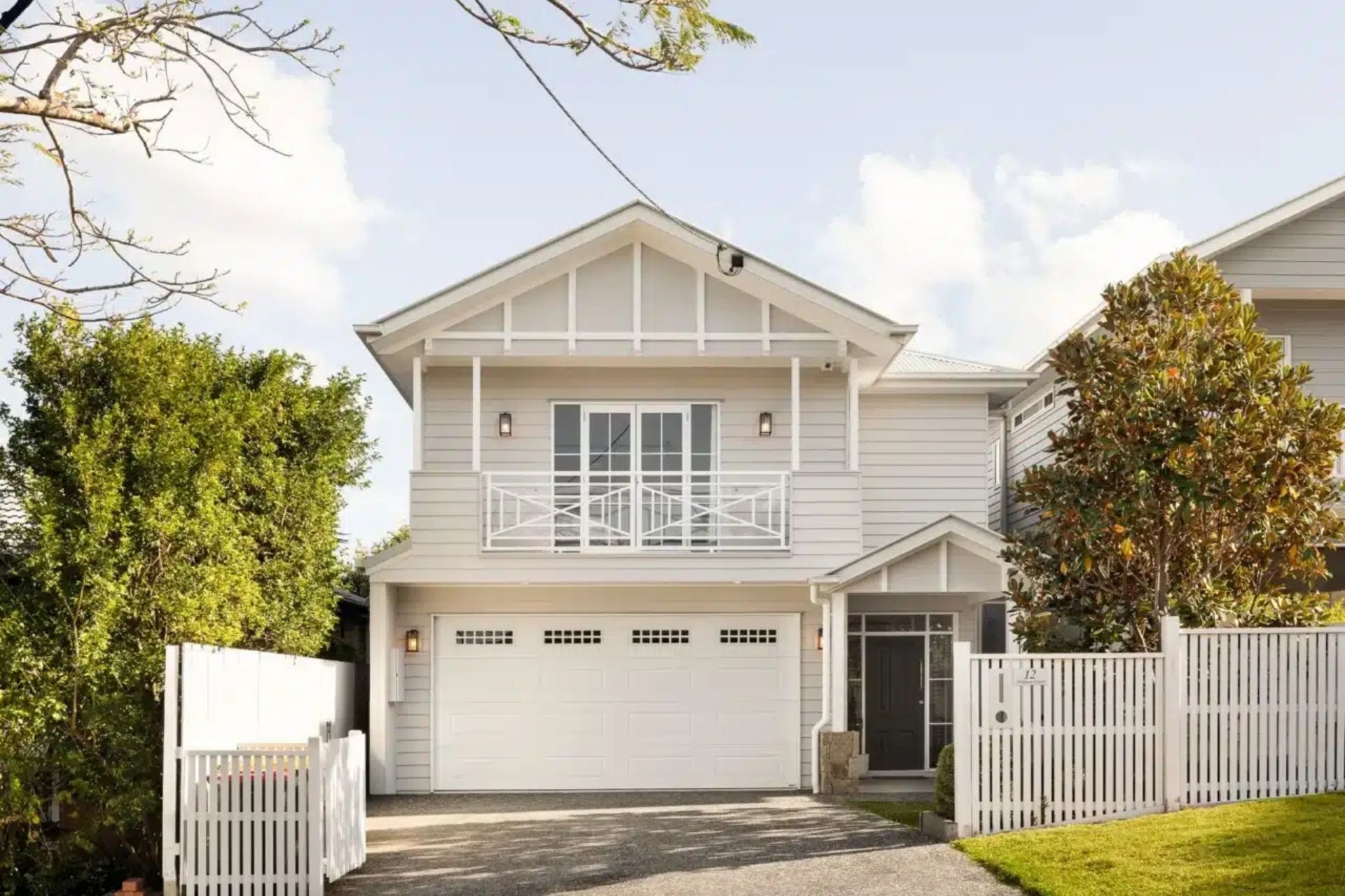
Properties we’ve purchased in Aspley
Do you need a Buyer’s Agent who can assist you to purchase a property in Aspley?
Why do you need a buyer’s agent? We gain access to properties that are not on the real estate forums removing competition, we have a team of past valuers and agents, we are experienced negotiators who also manage your contract process to alleviate the stress and remove the emotion.